Leading Ground & Airborne Geophysical Surveys
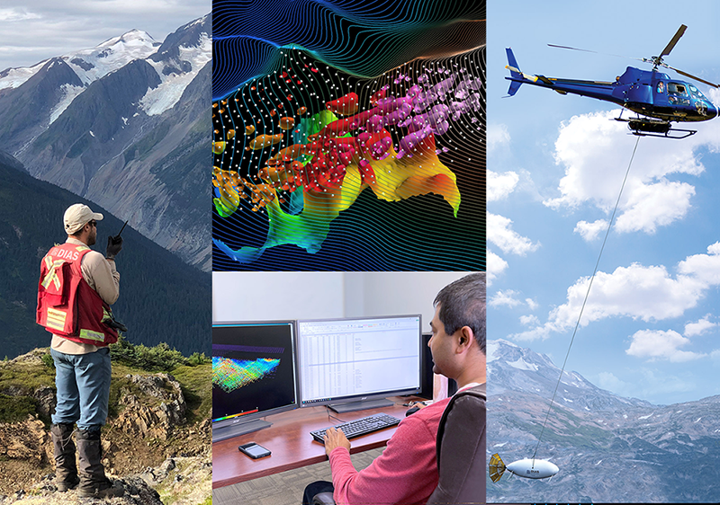
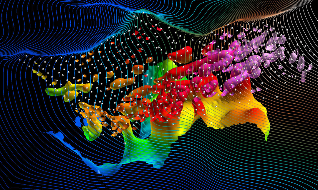
Dias is a world leader in innovative geophysical technologies for the mineral exploration sector that are used to explore for copper, gold, lithium, silver, uranium, zinc and more. Our services help clients uncover valuable insights into geological structure, lithology, and mineralization of their projects. Deliverables include dense 3D datasets and 3D inversion models that are tailored to suit individual client needs. Our equipment can be transported anywhere in the world and can be adapted to any project requirement or challenge.
Latest News & Insights
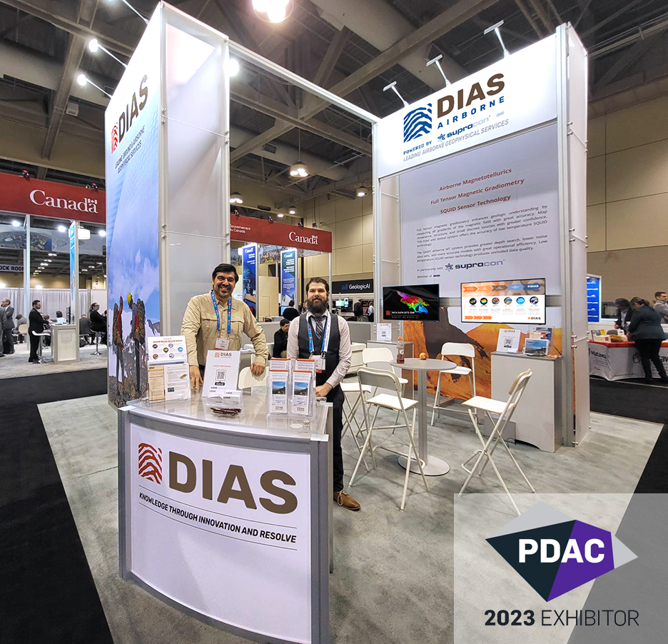
PDAC2023 – Explore the Advantages of Leading Geophysical Technologies with Dias
Toronto, Ontario--(March 6, 2023) - Dias invites you to visit [...]
Dias expands leading-edge geophysical survey technologies with purchase of Discovery International Geophysics
NEWS Dias Geophysical Limited and Discovery International Geophysics Inc. [...]
Where in the world is Dias?
Our geophysical survey work takes us all over [...]
What Our Clients Say
Thank you, the data looks great so far and the productivity was outstanding. We will keep you in mind for any future IP work.
Thank you to you and your crew for conducting a safe, efficient survey, very much appreciated.
Two thumbs up…
Thank you for the work thus far, very much appreciated and very professional.
Thanks again for making a good call today. Safety first. It’s a relief to me to know that our team is in responsible hands.
Your survey will continue to be the basis for our drill planning through the summer . . . so again, thanks for your work . . . we’ve found we can trust Dias to find disseminated sulfides!
We are so pleased with the entire process, you have an excellent team. We will work together again I am sure.
Dias is a fine example of success in technical innovation … and provide critical services to the mineral exploration industry internationally.
Dias displayed exemplary work with respect to adherence to health and safety procedures working in the challenging desert environment.
FOCUS ON AIRBORNE TECHNOLOGY – QMAGT
WORLDWIDE FULL TENSOR MAGNETIC GRADIOMETRY SURVEYS
TECHNOLOGY
QMAGT
Full Tensor Magnetic Gradiometry
THE MOST ADVANCED AIRBORNE MAG SYSTEM COMMERCIALLY AVAILABLE
QMAGT
CASE STUDIES
QMAGT enables access to challenging terrain at higher elevations around the world.
IN THE NEWS
NETL VIDEO
NETL Completes Airborne Survey to Monitor Carbon Dioxide Sequestered in Mississippi
IN THE NEWS
PRESS RELEASE
ACME Lithium provides geophysics update at Manitoba, Canada lithium projects
IN THE NEWS
PRESS RELEASE
Murchison Minerals summer exploration program at HPM Nickel-Copper-Cobalt project
WHAT OUR CLIENTS SAY
“Dias Airborne’s QMAGT system is the most advanced airborne magnetic system currently commercially available.”
“The QMAGT results will greatly assist the upcoming field mapping and drill program.“
“The direct imaging of remanent magnetized materials gives a more complete picture of the geology and mineralization of the survey area. We have demonstrated the advantages of the inversion of FTMG data over the traditional TMI data and the advantages of imaging different components of the magnetization vector.”
“Low contrast between the magnetic response of the pegmatites and their typical host lithologies limits the use of conventional magnetic surveys. However, the sensitivity of Dias Airborne’s QMAGT system and Mira Geoscience’s MVI modelling significantly alters this convention.”


